Leveraging Technology to Manage Data a Key to Spotts, Stevens, and McCoy’s Success

Engineering and environmental data is at the center of what we do and has been since 1932.
From surveying to scanning, tape measures to models, index cards to databases, or hand-drafting to automated design, information management has always been a core component of SSM’s services.
Leveraging technology to manage our data is key to our success. We have always committed to fully investing in the early adoption of technology that moved our industry forward, because the integration of data always leads to better solutions.
We have many tools in our technology toolbox — AutoCAD, GIS, REVIT, BIM — and we apply the right tool to solving the problem. Our integrated approach to data capture and modeling allows us to examine the components while maintaining focus on the whole.
Accuracy matters. Our clients depend on us to ensure that their buildings stand straight, stormwater doesn’t flood their streets, HVAC systems maintain a desired temperature, contaminant time of travel is accurate, and water pressure is adequate for fire systems. We work with architects, facility managers, owners, engineers, and contractors in every phase of a project. We collect and manage data to design and engineer solutions, develop drawings, identify areas of concern, and document the work and systems.
The result is a constructable, implementable project with systems in place that perform in accordance with the requirements of the project.
Capturing the Coordinates
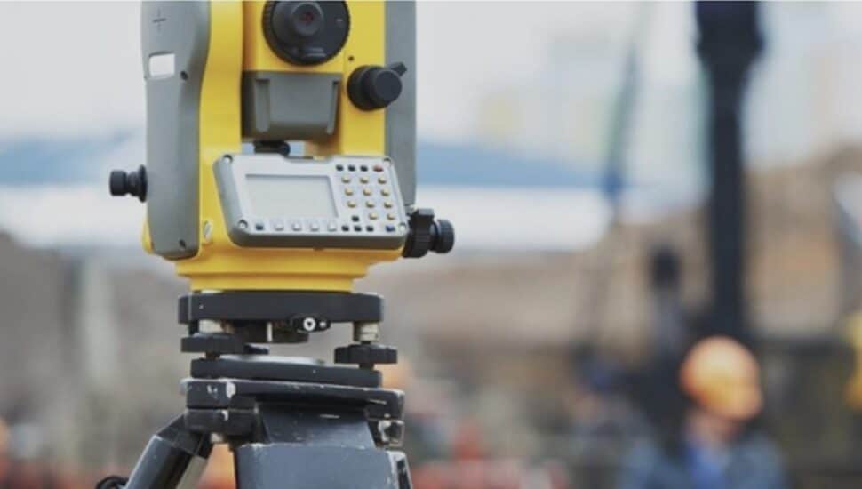
SSM’s surveying and mapping services cover a lot of ground, from new construction to building rehabilitation, campus mapping to treatment facilities, utility lines to golf courses. In fact, our archives contain the most complete record of local survey and site plans in the region. Data points from Total Stations and data collection systems, robotics, and other state-of-the-art equipment are transferred electronically to our CAD system for engineering design.
We are using drone technology — HDS and BIM — on our projects to enhance our collaborative relationships for outstanding results. We can measure things that couldn’t be measured before, capture images of existing conditions for future reference, and bring information to your fingertips, as well as create reference points for future site considerations. Drones make a power solution for monitoring construction, capturing hard-to-reach details, and documenting infrastructure on expansive sites.
High-Definition Laser Scanning
SSM utilizes advanced hardware tools in the surveying business with the latest software tools available for architects and engineers to prepare high-accuracy, 3D virtual models for presentation, design documentation, and construction coordination.
Learn more about how SSM utilized high-definition laser scanning equipment and software to quickly and accurately capture the existing facade conditions of Bryn Mawr Presbyterian Church’s 150-foot bell tower.
Drone Applications
- Construction Monitoring
- Volumetric Computations
- Erosion and Damage Assessments
- Hot Spots/Heat Loss Detection
- Aerial Site Evaluation
- Litigation Support
- Rooftop Evaluations
- System Layout
______________
Spotts, Stevens, and McCoy is a regional engineering, environmental, and surveying firm that serves local and global clients. We engineer solutions for a better world. Our work touches everyday life — from the water you drink, to the air you breathe, to the buildings and communities where you live, work, and play. Learn more about Spotts, Stevens, and McCoy.
Connect With Your Community
Subscribe to stay informed!
"*" indicates required fields


![95000-1023_ACJ_BannerAd[1]](https://vista.today/wp-content/uploads/2023/03/95000-1023_ACJ_BannerAd1.jpg)


