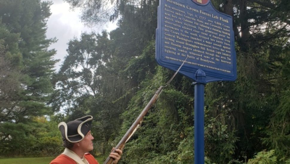
Fifteen interpretive signs are being installed in Delaware and Chester counties that trace the history of the Battle of Brandywine, the largest single-day land battle in the Revolutionary War, writes Bill Rettew for the Daily Times.
Last week, the sixth sign was unveiled in Westtown at the Church of the Loving Shepherd on New Street.
“Each sign tells a specific part of the larger battlefield story, and once all 15 signs are installed, they, along with Heritage Centers and Interpretive Sites, will provide a coordinated network of public education about the battle,” said Brian O’Leary, executive director for the Chester County Planning Commission.
The historical signs are part of a public-private partnership developed by the Brandywine Battlefield Task Force and facilitated by the Chester County Planning Commission.
The Brandywine Battlefield Preservation Plan hopes to link historic Revolutionary War sites and landscapes.
The Brandywine Battlefield State Park in Chadds Ford would serve as a “flagship” gateway of the battle.
Smaller heritage centers at Thornbury Farm, Dilworthtown Village, and Chadds Ford Historical Society and other interpretive sites will handle a smaller number of visitors for a 15- to 30-minute experience.
Read more in the Daily Times about this new Brandywine Battlefield network.
Here’s all you need to know about the Battle of Brandywine in four minutes.


")


")


")


")