Volunteer Surveyors Document Locations, Conditions of Mason-Dixon Line Markers, Hoping to Preserve Them
A group of volunteer surveyors is working on documenting the locations and conditions of Mason-Dixon Line markers to ensure they are not lost to history, writes William Ecenbarger for The Philadelphia Inquirer.
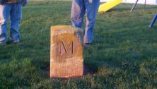
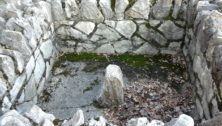
The markers were placed by English scientists Charles Mason and Jeremiah Dixon. They were nearing the completion of a five-year survey that drew a line between the two colonies in America. When the two men sailed out of Philadelphia in 1768, they left roughly 300 markers behind to define the boundary between the colonies.
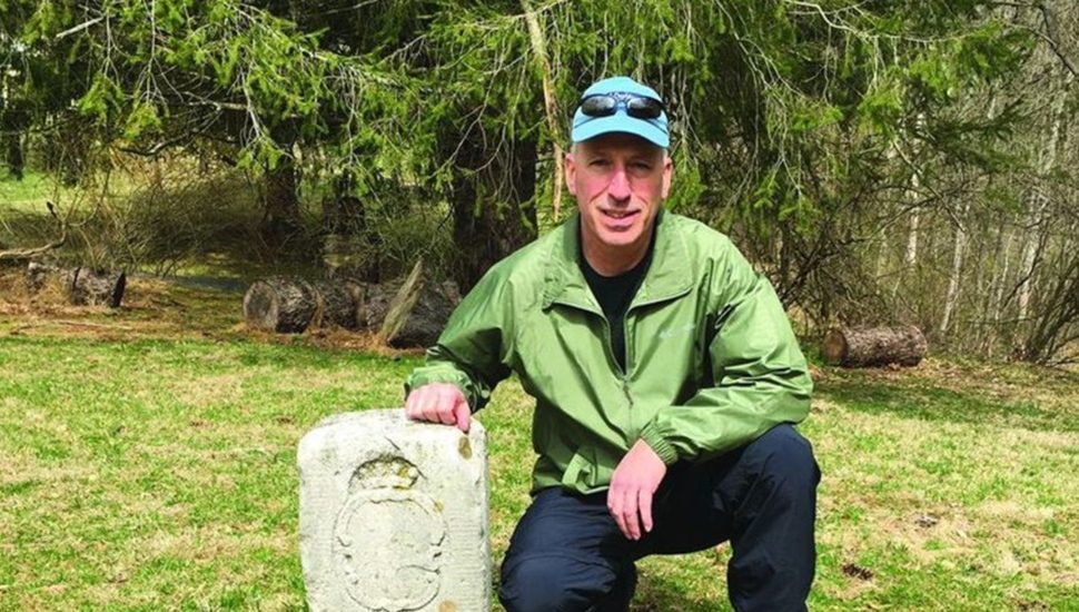
“The line was an amazing achievement, some say comparable to the landing on the moon,” said Eric Gladhill, professional surveyor. “It was the most daring surveying task ever undertaken, and it established a criteria for all future long-distance surveys.”
Some markers, however, have been stolen or vandalized. Others have eroded or been buried. To prevent further loss or degradation, Gladhill and other volunteers are surveying the markers. This assessment is the first step in getting them added to the National Register of Historic Places.
Once the stones are granted historic status, various organizations can apply for grants to maintain and preserve them.
Read more about the Mason-Dixon Line markers in The Philadelphia Inquirer.
Connect With Your Community
Subscribe to stay informed!
"*" indicates required fields


")