Map of Every Building in America Highlights Differences Between Organic, Planned Growth
Although we get much better guidance when traveling today from the maps on our phones than we used to from paper maps, the view is significantly smaller, write Tim Wallace, Derek Watkins, and John Schwartz for The New York Times.
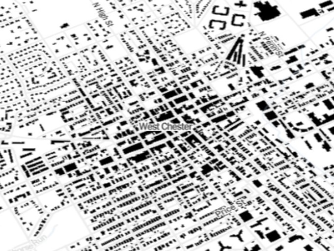
The Times used the huge database Microsoft released to the public earlier this year to create a map of every building in the nation.
For example, the map shows that some areas, like Flint, Mich., have been developed using a checkerboard style. This is traceable to Thomas Jefferson’s ideas of planned development on land taken from Native Americans. The map shows a visible network of squares transforming the wilderness into a fascinating landscape, all on a page of graph paper.
However, some areas in the nation develop much more naturally. This includes the landscape east of Lancaster, known for its long history of organic settlement.
“We lose what’s fascinating about a place by not having this bigger picture,” said Susan Crawford, a Harvard Law School professor whose work involves cities and technology.
The map can be searched by ZIP Code.
Read more about the map of every building in America in The New York Times here.
[uam_ad id=”80503″]
.
[uam_ad id=”80502″]
Connect With Your Community
Subscribe to stay informed!
"*" indicates required fields


")