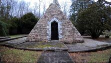
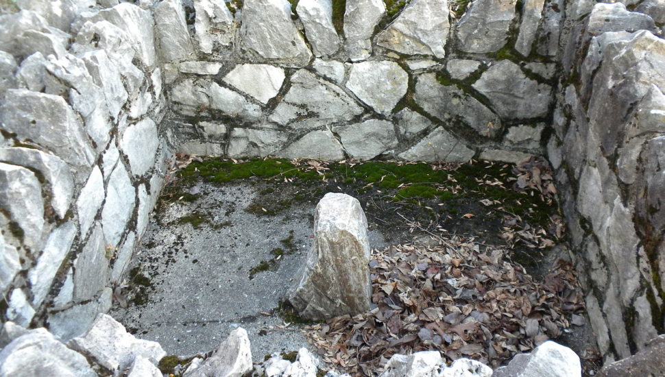
Most Important Stone Along Mason-Dixon Line Has Survived Centuries in Newlin Township
When they mapped out their famous border in the eighteenth century, Charles Mason and Jeremiah Dixon used Chester County as the starting point, writes Bill Rettew for the Daily Local News.
This point, near Embreeville in Newlin Township, is marked with one of the stones that were placed a mile apart along Pennsylvania’s border with Delaware, Maryland, and what was then Virginia (now West Virginia).
As miles were measured differently in the eighteenth century, the majority of the original stones were not actually placed a mile apart. And while many of the 230 original stones have been lost over time, the Stargazers’ Stone, the starting point, is located exactly in the right place.
Here in Chester County.
[uam_ad id=”58459″]
Advertisement
Now, the Mason & Dixon Line Preservation Partnership is retracing the line created centuries ago, this time using modern equipment.
“We’re using a different constellation for stars – a constellation of satellites,” said Todd Babcock, a surveyor and charter member of the partnership.
However, he’s still learning from the techniques of the past.
“We follow in the footsteps of the surveyors who came before us.”
Read more about the Stargazers’ Stone in the Daily Local News here.
[uam_ad id=”58462″]
Connect With Your Community
Subscribe to stay informed!
"*" indicates required fields


")